Map
Detailed Information
- Place Types Park
- Address Albania
- Coordinate 40.7549904,20.1660061
- Website Unknown
- Rating 5
- Compound Code Q538+XC Ulovë, Albania
Photos


Reviews

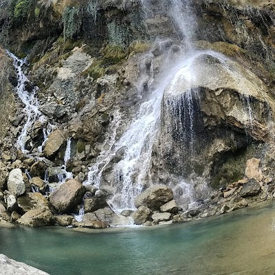
A nice hike about 30-40 min from the village. The view was amazing and the water was nice (just watch out for snakes down in the rocks close to the waterfall in the summer, we saw two during our stay). A cute place for a picnic if it wasn't for the garbage the turists left scattered in the woods 👎🏻. The road to the village was mostly not paved, a 4x4 is recommended.

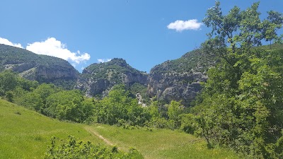
A beautiful and wild nature. Worth exploring !!

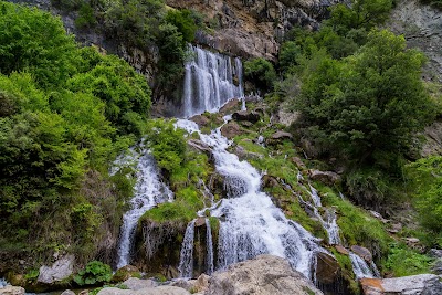
It is an wonderful waterfall,clean water and amazing nature for hike,camp,and more.Love it.

Amazing destination👌

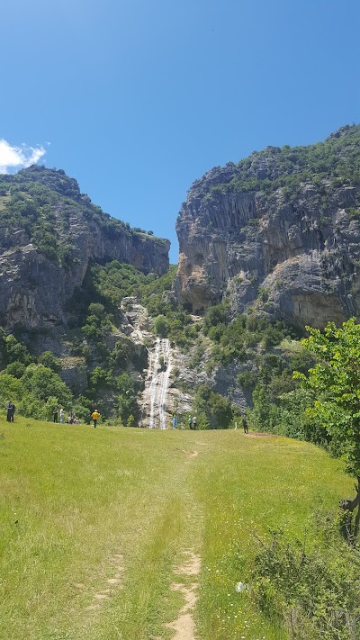
We went there on the 'Summer Day', FYI a national holiday. The weather was sunny, 16-18 degrees, so weather wise it was perfect. The last 8-10 km of the road are not asphalted and in a lot of places you will have to slow down and decide / observe where your tires should step. The road goes through a couple of villages, with the village of Sotire being the last before the waterfall. There are 2 small rivers creeks where you have to cross the riverbed to the other side to continue your trip, caution advised. From the village of Sotire, depending on what car you have and the condition of the creek (passable /not), about 1-1.5 km further are the waterfalls. A short steep climb for the last few minutes of your trip there will take you to a plateau/field from where the beautiful water falls fill the scenery. Plenty of place around to sit down for a picnic or a barbecue, scavenging wood from the small forests around, good place and space around for the children as well, but they should be kept supervised because there are plenty of steep places where you'd get really hurt if it were the case to fall down. From this field you are almost at the same level and have in front of you the spring of the waterfall on your left, also the biggest, with the water rushing out of the middle of the mountain in front of you, as if it is "leaking" from it. From there, you can go down to the base of the waterfalls and complete your mission (as in the case of my family) and take as many pictures as you can. :).
Similar place
Parku i Madh i Liqenit Artificial të Tiranës, Tirana, Albania
Unknown
http://aprtirana.al/parqe-rekreative/parku-i-madh-i-liqenit-tir
Rruga: Sarande-Butrint Sarande, 9701, Albania
+355 67 632 0011
http://www.shpella-e-pellumbave.com/
Lalëz, Rruga e bregdetit, Plazhi San Pietro, Albania
Unknown
Unknown
Rruga Qafë Shtamë, Cudhi Kampt, Albania
+355 68 324 8278
Unknown