Map
Detailed Information
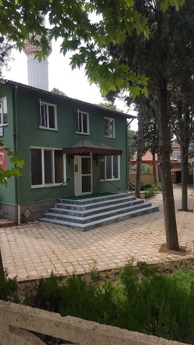
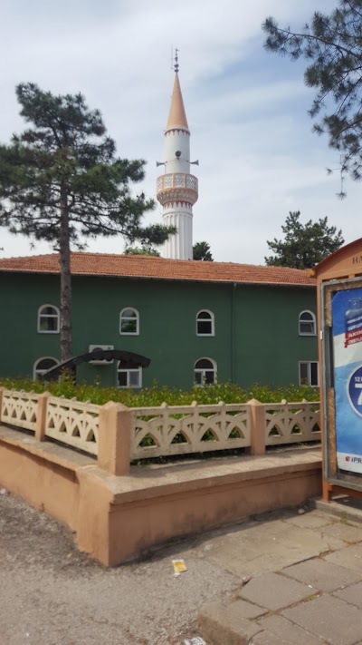
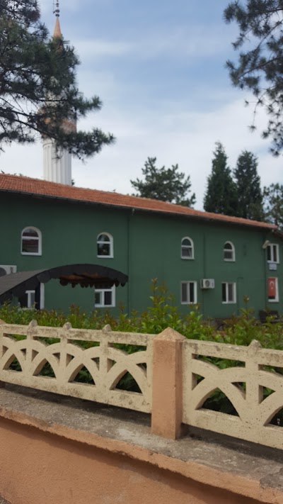
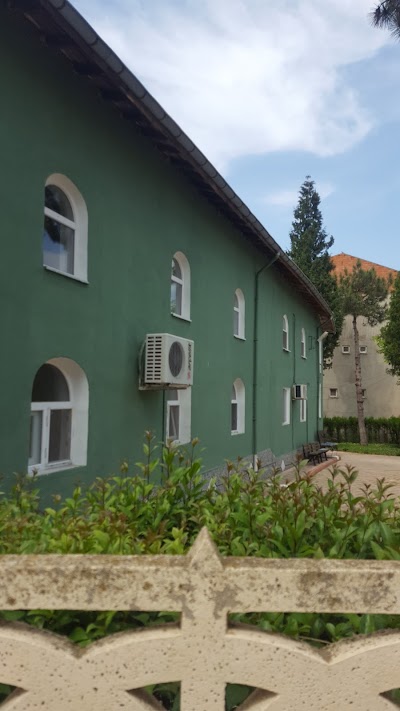
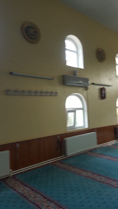
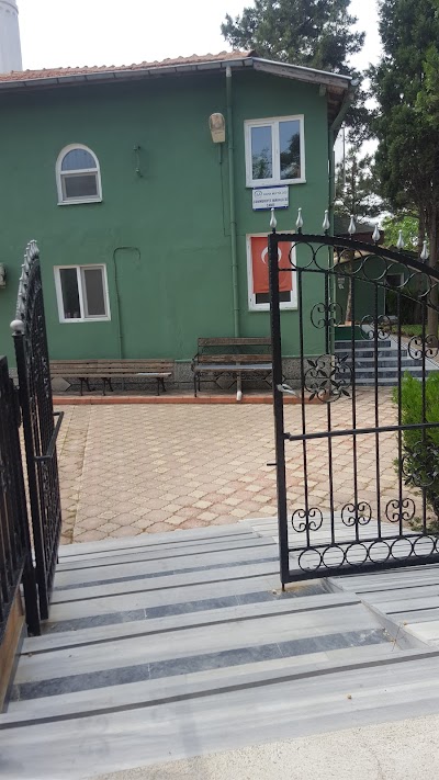
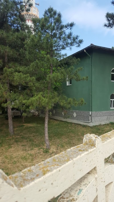
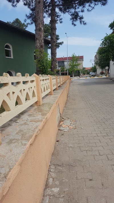
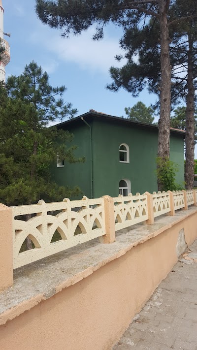
- Place Types Mosque
- Address Cumhuriyet, Fatih Cd. No:57, 22500 Havsa/Edirne, Turkey
- Coordinate 41.5441667,26.8333333
- Website Unknown
- Rating 4.4
- Compound Code GRVM+M8 Havsa, Edirne, Turkey
Photos
Reviews

hot environment

NEIGHBORHOOD NEIGHBORHOODnnCumhuriyet Mahallesi was established in 1932 with the settlement of a 30-digit immigrant group, which was freed from Romania by their own will. These immigrants built their houses with their own plots after they were placed in Havsa, and after the land was given by the state. household immigrants also settled in this neighborhood. Some of these immigrants migrated to and left in Istanbul and Anatolia. New immigrants arrived in houses that were left intact, in 1958. After 1972, the industry started to develop in Havsa. The plots here have gained value. Workers from many villages, especially foreign countries, have begun building construction in a planned manner. In this respect, the neighborhood has started to develop with its structure suitable for expansion and is still developing.nn-------------------------------------------------- ---------------------nnA mosque was built in the neighborhood in 1969 and a primary school was built in 1977.While the school and the mosque were sufficient in the first years, the school was not sufficient when the school started to become narrow, and the mosque community was inadequate. The mosque was expanded with a new restoration. Mehmet Kilimci, owner of Kilim Mensucat Factory, undertook the construction of high school on behalf of his wife Melahat Kilimci. In the plan of the high school, which was built on two floors, the ground floor was foreseen to be a laboratory. The building was completed and started its operations in 1989. According to the census of 1989, it has a total population of 1704, 886 men and 818 women.nThe livelihood of the neighborhood is mainly agriculture, and there are also people working in the trade and arts branches.55 families registered in the Chamber of Agriculture and cultivated 3281 decares in total in 1987, 2275 decares for winter and 1006 decares for summer, the largest enterprise is 340 decares, the smallest The facility has 10 decares. Small Industrial Site, Football Stadium, Indoor Sports Hall, High School, Dairy Factory (butter and cheese) (closed), Security Building and Lodging, Kilim Mensucat Factory and its annexes have been established within the area of this neighborhood. It is generally located in this neighborhood. The neighborhood is located on the southern part of the center, on both sides of the Istanbul road. Its area is wide and also suitable for development. Again, according to the numbering chart made before the 1985 census, there are 318 buildings, 356 residences and 82 offices. After this date, two Police Houses, residences built by three Building Cooperatives and Small Industrial Site workplaces are not included in this census.

A beautiful mosque for those who want to worship.

A normal place of worship.

Hot tea hot chat, peaceful place
Similar place
Hacı Bayram Karabulut, 66800 Şefaatli/Yozgat, Turkey
Unknown
Unknown
Armağan Köyü Yolu, 66800 Armağan/Şefaatli/Yozgat, Turkey
Unknown
Unknown
Cumhuriyet, 66800 Şefaatli/Yozgat, Turkey
Unknown
Unknown
66000 Türkmen/Yozgat Merkez/Yozgat, Turkey
Unknown
Unknown